


The Mello-Roos map developed by inewsource is the culmination of months of data mining, cleaning and analysis, followed by equally ambitious application development so San Diego County residents can find the specialized taxes they pay.
The inewsource Mello-Roos series, in addition to dozens of interviews and public records requests, relies heavily on data from the San Diego County Geographic Information Source (SANGIS) and the San Diego County Tax Services.

The database feeding the map includes Mello-Roos taxes paid by individual property owners in San Diego County from 2011 through 2016. The database is organized by tax year and individual parcel, and includes taxes paid into any one or multiple Mello-Roos Community Facilities Districts over five years. The database only includes tax assessor parcels on which Mello-Roos fees were paid from the 2015-2016 tax year.
In all, the database includes more than 12.2 million data points.
As we do with any major investigative project, for full transparency and disclosure, we want to share our process.
inewsource converted text files from San Diego County Tax Services into a database by using a computer programming language called Python. That process essentially “scrapes” raw text data and exports it into a spreadsheet format.
Each entry in the database is assigned a unique identification code, or APN (Assessor Parcel Number), which corresponds to a specific property and includes a breakdown of taxes paid each year. This database was then combined with lists of Mello-Roos tax district data, derived from Communities Facilities Districts that are scattered throughout the county. We merged those data files with the parcel files from SANGIS to create the map. inewsource produced these conversions, analyses and mergers for each year, for every parcel paying Mello-Roos from 2011-2016.
Long story short, we meshed tax data with Mello-Roos district data, then merged that with the parcel file, which you now see on the map.
We tried to anticipate some of your questions:
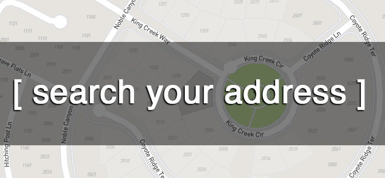
Q: Why didn’t my address return any results?
A: You likely don’t pay Mello-Roos taxes. But it’s also possible you entered an address incorrectly, or used punctuation (our application doesn’t like punctuation). Try clicking on the “?” on the mapping application to get details on how to enter your address.
Another item of note: Our map doesn’t include parcels that don’t pay Mello-Roos taxes. Why? Because there are more than 1 million parcels throughout the county, and irrelevant data would really slow down the map.
Q: I live in a duplex on one property. Can I still see how much Mello-Roos I pay?
A: Yes. Some properties, such as duplexes and attached single-family homes, have different street numbers but share a place on our map. You can see how much each property on that land pays. Search your exact house number and street address (no punctuation). Click on the highlighted parcel to compare your fees to the other residence on that land.
Q: I owned a home prior to 2015-2016. Can I see what I paid then?
A: Yes, but only if that parcel is unchanged since you moved. If that parcel has been split, or changed in any way, it might not show up because we built our application based on parcels from the 2015-2016 tax year. In addition, some Mello-Roos districts have expired so earlier taxes will not show up.
Q: I pay into a timeshare condominium. Can I see how much I pay?
A: It depends. We came across one condominium complex that listed more than 7,000 individual owners, so we couldn’t list those on the map. If you know that you pay into one of these condos, email us and we’ll find the exact amount you pay: melloroos@inewsource.org
Q: I tried zooming out of the map but I can’t see the whole county. Is it broken?
A: No. We limited the zoom-out function so the application has time to think while re-populating parcels. This keeps the application fast and responsive as you move around on the map. Even so, when you zoom out, please give our servers a few seconds to respond. There’s a lot of data behind the scenes and that takes a few moments to process.
Are we missing anything? If you find bugs or are still having trouble searching the map, let us know. Contact inewsource Director of Data and Visuals Brandon Quester: brandon.quester@inewsource.org