

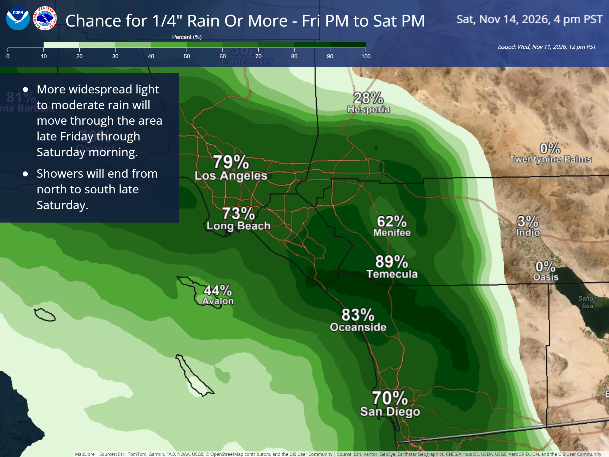
The next El Niño-strengthened wave of storm systems is on the horizon (literally, it’s out there), and the vast majority of San Diego County is forecast to likely receive a quarter inch or more of rain from the first one both Friday and Saturday.

What’s driving this? Several low pressure systems working their way down the coast over the next week. Here’s the most current loop from the National Oceanic and Atmospheric Administration as of publication of this note.

Prefer an old-school map? Below is the early morning Friday modeling from NOAA. That “z” at the end of the time stands for “zulu” which is what a lot of meteorologists use to refer to UTC. That makes it easier for everyone across the world to talk about the same moment in time.
So 12Z is 4 a.m. Pacific Standard Time. Keep this in mind if you see a smaller number. You may actually be looking at the previous day!
